thermal cameras

Drone Mapping

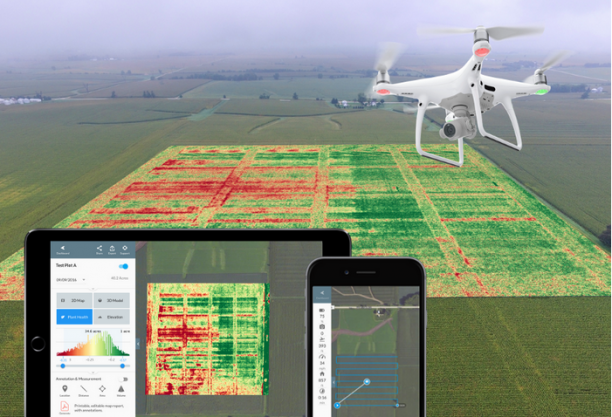
Actionable values hidden inside the Drone Data – Mapping

Mapping refers to the practice of interpreting topographical and orthomosaic images. Drone mapping is a powerful tool to generate 2D maps and 3D models to be used in areas of survey, construction, and engineering. Assume, that you are planning to do a construction project on a 500-acre land. You will need a detailed analysis of […]

Actionable values hidden inside the Drone Data – Mapping Read More »

Actionable Values hidden inside Drone Data: Search and Rescue

Actionable Values hidden inside Drone Data: Search and Rescue

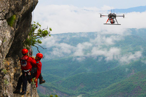
Drones have proved to be an excellent resource to aid search and rescue programs. They can find missing people, deliver food and medicines, and cut down search and rescue time from days to hours. Drones provide real-time information and give quicker situational awareness of the case and hence reduce response times. Drones are versatile, have

Actionable Values hidden inside Drone Data: Search and Rescue Read More »